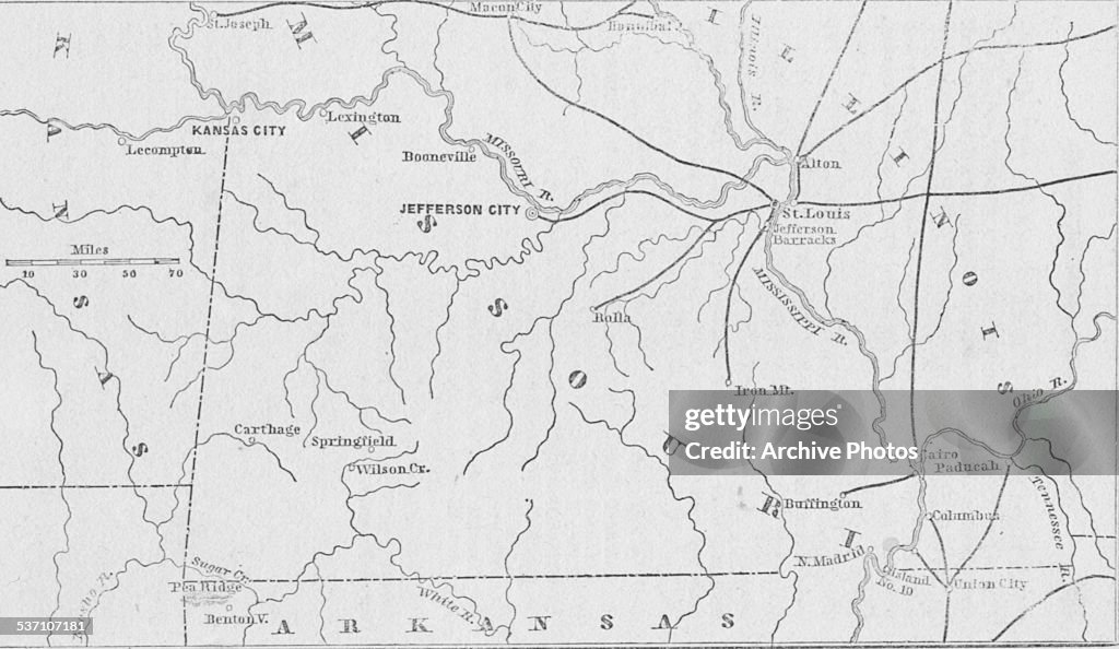
Map Of Missouri
Line map of the state of Missouri, with major cities and rivers, circa 1850. (Photo by Archive Photos/Getty Images)

PURCHASE A LICENCE
How can I use this image?
335.00 €
EUR
Getty ImagesMap Of Missouri, News Photo Map Of Missouri Get premium, high resolution news photos at Getty ImagesProduct #:537107181
 Map Of Missouri Get premium, high resolution news photos at Getty ImagesProduct #:537107181
475€150€
Getty Images
In stockPlease note: images depicting historical events may contain themes, or have descriptions, that do not reflect current understanding. They are provided in a historical context. Learn more.
DETAILS
Restrictions:
Contact your local office for all commercial or promotional uses. Full editorial rights UK, US, Ireland, Canada (not Quebec). Restricted editorial rights for daily newspapers elsewhere, please call.
Credit:
Editorial #:
537107181
Collection:
Archive Photos
Date created:
01 January, 1850
Upload date:
Licence type:
Release info:
Not released. More information
Source:
Archive Photos
Object name:
ARH050_092
Max file size:
5700 x 3304 px (48.26 x 27.97 cm) - 300 dpi - 3 MB