Vancouver, BC, Canada Vector Map - stock illustration
Topographic / Road map of Vancouver, British Columbia, Canada. Map data is open data via openstreetmap contributors. All maps are layered and easy to edit. Roads are editable stroke.

Get this image in a variety of framing options at Photos.com.
PURCHASE A LICENCE
All Royalty-Free licences include global use rights, comprehensive protection, and simple pricing with volume discounts available
335.00 €
EUR
Getty ImagesVancouver Bc Canada Vector Map High-Res Vector Graphic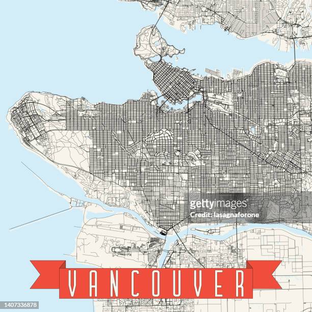 Download premium, authentic Vancouver, BC, Canada Vector Map stock illustrations from Getty Images. Explore similar high-resolution stock illustrations in our expansive visual catalogue.Product #:1407336878
Download premium, authentic Vancouver, BC, Canada Vector Map stock illustrations from Getty Images. Explore similar high-resolution stock illustrations in our expansive visual catalogue.Product #:1407336878335€50€
Getty Images
In stockDETAILS
Credit:
Creative #:
1407336878
Licence type:
Collection:
DigitalVision Vectors
Max file size:
4000 x 4000 px (33.87 x 33.87 cm) - 300 dpi - 18 MB
Upload date:
Location:
United States
Release info:
No release required
Categories:
- Map,
- Vancouver - Canada,
- Stanley Park - Vancouver - Canada,
- Aerial View,
- Architecture,
- Backgrounds,
- Blueprint,
- British Columbia,
- Canada,
- Capilano Suspension Bridge,
- Cartography,
- City,
- City Life,
- City Street,
- Cityscape,
- Colour Image,
- Coloured Background,
- Colours,
- Design,
- Downtown District,
- Famous Place,
- Illustration,
- Line Art,
- Major Road,
- No People,
- Outline,
- Physical Geography,
- Poster,
- Projection Mapping,
- Road,
- Road Junction,
- Road Map,
- Sea,
- Square - Composition,
- Strait Of Georgia,
- Street,
- Street Map,
- Suspension Bridge,
- Tourism,
- Tourist Resort,
- Town Square,
- Transportation,
- Travel,
- Travel Destinations,
- USA,
- Urban Road,
- Vacations,
- Vancouver Harbor,
- Vector,