United States Fracking Map - stock illustration
Map of the continental United States with fracking towers. Towers generally correspond with locations of natural gas shale deposits. ++ Map source: https://www.cia.gov/library/publications/the-world-factbook/graphics/ref_maps/political/pdf/north_america.pdf; Edited in: Adobe Illustrator; Modified: 15 Jan 2014; Data used: Outlines. ++

Get this image in a variety of framing options at Photos.com.
PURCHASE A LICENCE
All Royalty-Free licences include global use rights, comprehensive protection, and simple pricing with volume discounts available
335.00 €
EUR
Getty ImagesUnited States Fracking Map High-Res Vector Graphic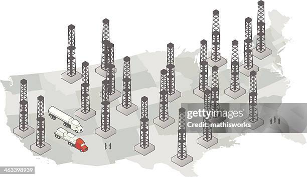 Download premium, authentic United States Fracking Map stock illustrations from Getty Images. Explore similar high-resolution stock illustrations in our expansive visual catalogue.Product #:463398939
Download premium, authentic United States Fracking Map stock illustrations from Getty Images. Explore similar high-resolution stock illustrations in our expansive visual catalogue.Product #:463398939335€50€
Getty Images
In stockDETAILS
Credit:
Creative #:
463398939
Licence type:
Collection:
DigitalVision Vectors
Max file size:
5372 x 3105 px (33.20 x 19.19 cm) - 411 dpi - 2 MB
Upload date:
Release info:
No release required
Categories:
- Map,
- Three Dimensional,
- USA,
- Cartography,
- Commercial Land Vehicle,
- Concepts,
- Concepts & Topics,
- Environment,
- Environmental Conservation,
- Environmental Damage,
- Exercising,
- Fireball,
- Fossil Fuel,
- Fracking,
- Fuel and Power Generation,
- Heavy Goods Vehicle,
- Hydrogen,
- Ideas,
- Illustration,
- Intricacy,
- Isometric Projection,
- Natural Gas,
- Occupation,
- Oil Shale,
- Pollution,
- Propane,
- Shale,
- Shape,
- Sustainable Energy,
- Tower,
- Vector,
- Vitality,