
Middle East Map with blue globe and country outlines - stock illustration
Middle East Map with blue globe and country outlines

Get this image in a variety of framing options at Photos.com.
PURCHASE A LICENCE
All Royalty-Free licences include global use rights, comprehensive protection, and simple pricing with volume discounts available
335.00 €
EUR
Getty ImagesMiddle East Map With Blue Globe And Country Outlines High-Res Vector Graphic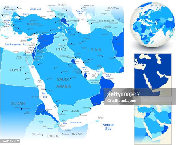 Download premium, authentic Middle East Map with blue globe and country outlines stock illustrations from Getty Images. Explore similar high-resolution stock illustrations in our expansive visual catalogue.Product #:160512519
Download premium, authentic Middle East Map with blue globe and country outlines stock illustrations from Getty Images. Explore similar high-resolution stock illustrations in our expansive visual catalogue.Product #:160512519335€50€
Getty Images
In stockDETAILS
Credit:
Creative #:
160512519
Licence type:
Collection:
DigitalVision Vectors
Max file size:
4489 x 3704 px (25.23 x 20.81 cm) - 452 dpi - 4 MB
Upload date:
Release info:
Model and property released
Categories:
- Map,
- Israel,
- Middle East,
- Saudi Arabia,
- Iran,
- Globe - Navigational Equipment,
- Three Dimensional,
- West Asia,
- World Map,
- Türkiye - Country,
- Intricacy,
- Planet - Space,
- Sea,
- Atlantic Ocean,
- Black Sea,
- Blue,
- Cartography,
- Design,
- Digitally Generated Image,
- Egypt,
- Geographical Locations,
- Gulf Countries,
- Horn of Africa,
- Illustration,
- Iraq,
- Jordan - Country,
- Mediterranean Sea,
- National Border,
- No People,
- Outline,
- Physical Geography,
- Shadow,
- Shape,
- Somalia,
- Sphere,
- Sudan,
- Turkmenistan,
- Vector,
- White Background,
- Yemen,