Map of British Isles, lithograph, lithograph, published in 1876 - stock illustration
Map of British Isles. Lithograph, published in 1876.

Get this image in a variety of framing options at Photos.com.
PURCHASE A LICENCE
All Royalty-Free licences include global use rights, comprehensive protection, and simple pricing with volume discounts available
335.00 €
EUR
Getty ImagesMap Of British Isles Lithograph Lithograph Published In 1876 High-Res Vector Graphic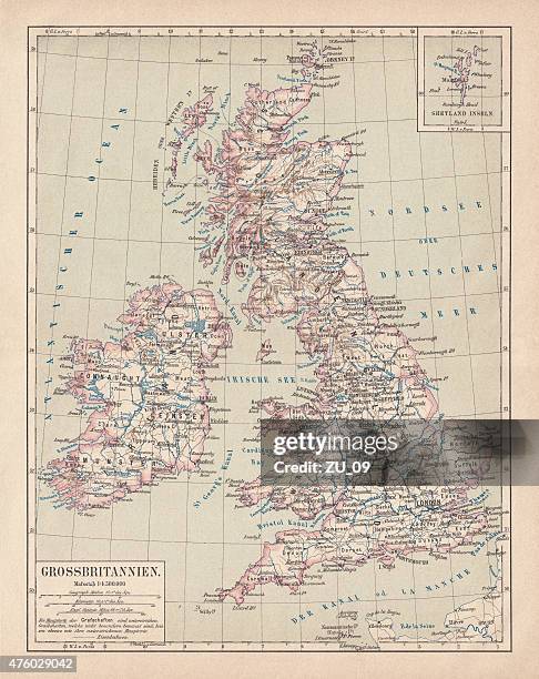 Download premium, authentic Map of British Isles, lithograph, lithograph, published in 1876 stock illustrations from Getty Images. Explore similar high-resolution stock illustrations in our expansive visual catalogue.Product #:476029042
Download premium, authentic Map of British Isles, lithograph, lithograph, published in 1876 stock illustrations from Getty Images. Explore similar high-resolution stock illustrations in our expansive visual catalogue.Product #:476029042335€50€
Getty Images
In stockDETAILS
Credit:
Creative #:
476029042
Licence type:
Collection:
DigitalVision Vectors
Max file size:
10495 x 13204 px (88.86 x 111.79 cm) - 300 dpi - 102 MB
Upload date:
Release info:
Model and property released
Categories:
- Map,
- Old,
- Scottish Flag,
- Scotch Whisky,
- Scotland,
- 2015,
- Ancient,
- Antique,
- Atlantic Ocean,
- British Culture,
- Cartography,
- Coastline,
- England,
- English Culture,
- Engraved Image,
- Europe,
- European Culture,
- Iceland,
- Illustration,
- Irish Culture,
- Island,
- Lithograph,
- No People,
- North Sea,
- Outdoors,
- Republic of Ireland,
- Scottish Culture,
- Sea,
- Shetland Islands,
- St. Andrew's Cross,
- Stephen Ireland,
- Topographic Map,
- Topography,
- UK,
- Vertical,
- Wales,