Ireland County and Provincial map - stock illustration
Map with 32 counties of Ireland and Northern Ireland.

Get this image in a variety of framing options at Photos.com.
PURCHASE A LICENCE
All Royalty-Free licences include global use rights, comprehensive protection, and simple pricing with volume discounts available
335.00 €
EUR
Getty ImagesIreland County And Provincial Map High-Res Vector Graphic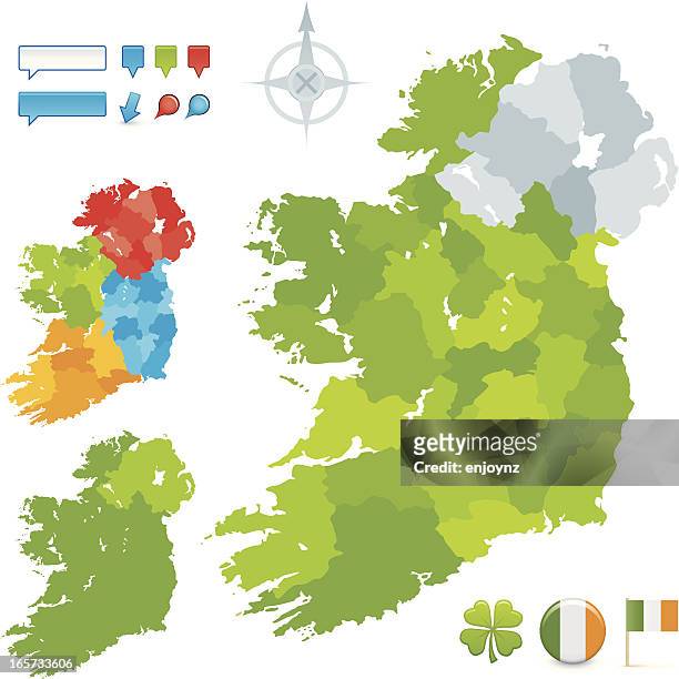 Download premium, authentic Ireland County and Provincial map stock illustrations from Getty Images. Explore similar high-resolution stock illustrations in our expansive visual catalogue.Product #:165733606
Download premium, authentic Ireland County and Provincial map stock illustrations from Getty Images. Explore similar high-resolution stock illustrations in our expansive visual catalogue.Product #:165733606335€50€
Getty Images
In stockDETAILS
Credit:
Creative #:
165733606
Licence type:
Collection:
DigitalVision Vectors
Max file size:
4081 x 4081 px (34.55 x 34.55 cm) - 300 dpi - 2 MB
Upload date:
Release info:
Model and property released
Categories: