Florida Vector Map Regions Isolated - stock illustration
"Detailed vector map of Florida with administrative divisions. File was created on October 24, 2012. The colors in the .eps-file are ready for print (CMYK). Included files: EPS (v8) and Hi-Res JPG (5600aa aaa 4903 px)."

Get this image in a variety of framing options at Photos.com.
PURCHASE A LICENCE
All Royalty-Free licences include global use rights, comprehensive protection, and simple pricing with volume discounts available
335.00 €
EUR
Getty ImagesFlorida Vector Map Regions Isolated High-Res Vector Graphic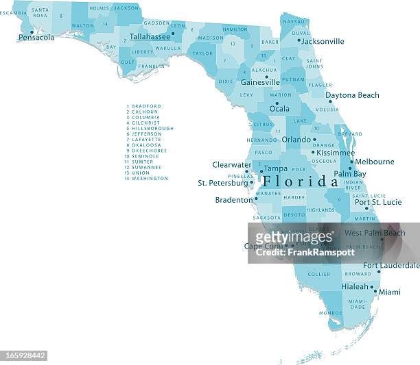 Download premium, authentic Florida Vector Map Regions Isolated stock illustrations from Getty Images. Explore similar high-resolution stock illustrations in our expansive visual catalogue.Product #:165928442
Download premium, authentic Florida Vector Map Regions Isolated stock illustrations from Getty Images. Explore similar high-resolution stock illustrations in our expansive visual catalogue.Product #:165928442335€50€
Getty Images
In stockDETAILS
Credit:
Creative #:
165928442
Licence type:
Collection:
DigitalVision Vectors
Max file size:
4394 x 3826 px (81.47 x 70.93 cm) - 137 dpi - 6 MB
Upload date:
Release info:
Model and property released
Categories:
- Map,
- Florida - US State,
- Clearwater - Florida,
- Miami,
- Tallahassee,
- Fort Lauderdale,
- Everglades National Park,
- St. Petersburg - Florida,
- Bradenton,
- The Florida Keys,
- Vector,
- West Palm Beach,
- Blue,
- Central Florida,
- Clip Art,
- Colour Image,
- Daytona Beach,
- Digitally Generated Image,
- Gulf Coast States,
- Horizontal,
- Illustration,
- Jacksonville,
- No People,
- Non-Urban Scene,
- North America,
- Orlando - Florida,
- Plain Background,
- Tampa,
- USA,
- White Background,