Dominican Republic - detailed map with country regions. - stock illustration
Dominican Republic - detailed map with country regions. Vector illustration

Get this image in a variety of framing options at Photos.com.
PURCHASE A LICENCE
All Royalty-Free licences include global use rights, comprehensive protection, and simple pricing with volume discounts available
335.00 €
EUR
Getty ImagesDominican Republic Detailed Map With Country Regions High-Res Vector Graphic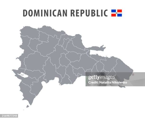 Download premium, authentic Dominican Republic - detailed map with country regions. stock illustrations from Getty Images. Explore similar high-resolution stock illustrations in our expansive visual catalogue.Product #:2169877248
Download premium, authentic Dominican Republic - detailed map with country regions. stock illustrations from Getty Images. Explore similar high-resolution stock illustrations in our expansive visual catalogue.Product #:2169877248335€50€
Getty Images
In stockDETAILS
Credit:
Creative #:
2169877248
Licence type:
Collection:
DigitalVision Vectors
Max file size:
7778 x 6428 px (65.85 x 54.42 cm) - 300 dpi - 2 MB
Upload date:
Release info:
No release required
Categories:
- Aerial View,
- Business,
- Cartography,
- Collection,
- Continent - Geographic Area,
- Country - Geographic Area,
- Cultures,
- Dominican Republic,
- Environment,
- Flag,
- Government,
- Grey Colour,
- Horizontal,
- Illustration,
- Land,
- Latin America,
- Map,
- National Border,
- National Flag,
- North America,
- Outline,
- Pattern,
- Physical Geography,
- Plan - Document,
- Planet Earth,
- Politics,
- Politics and Government,
- Santo Domingo - Dominican Republic,
- Tourism,
- Travel,
- Vector,
- Weather,
- West Indies,
- World Map,