Bogota, Columbia Vector Map - stock illustration
Topographic / Road map of Bogota, Columbia. Original map data is open data via OpenStreetMap contributors. All maps are layered and easy to edit. Roads are editable stroke.

Get this image in a variety of framing options at Photos.com.
PURCHASE A LICENCE
All Royalty-Free licences include global use rights, comprehensive protection, and simple pricing with volume discounts available
335.00 €
EUR
Getty ImagesBogota Columbia Vector Map High-Res Vector Graphic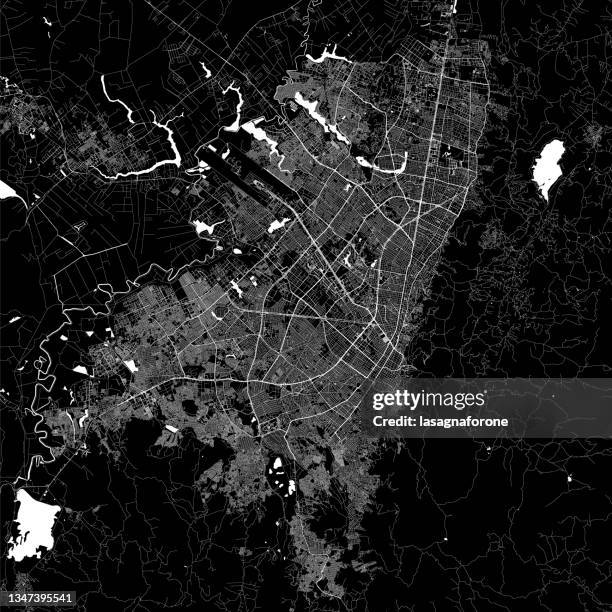 Download premium, authentic Bogota, Columbia Vector Map stock illustrations from Getty Images. Explore similar high-resolution stock illustrations in our expansive visual catalogue.Product #:1347395541
Download premium, authentic Bogota, Columbia Vector Map stock illustrations from Getty Images. Explore similar high-resolution stock illustrations in our expansive visual catalogue.Product #:1347395541335€50€
Getty Images
In stockDETAILS
Credit:
Creative #:
1347395541
Licence type:
Collection:
DigitalVision Vectors
Max file size:
4000 x 4000 px (33.87 x 33.87 cm) - 300 dpi - 23 MB
Upload date:
Location:
United States
Release info:
No release required
Categories:
- Bogota,
- Map,
- Colombia,
- Aerial View,
- Architecture,
- Backgrounds,
- Black And White,
- Black Colour,
- Blueprint,
- Bolivar Square - Bogota,
- Cartography,
- City,
- City Life,
- City Street,
- Cityscape,
- Design,
- Downtown District,
- Famous Place,
- Fashion Show,
- Illustration,
- Latin American and Hispanic Culture,
- Line Art,
- Major Road,
- Monserrate - Bogota,
- No People,
- Outline,
- Physical Geography,
- Poster,
- Projection Mapping,
- Road,
- Road Junction,
- Road Map,
- South America,
- Square - Composition,
- Street,
- Street Map,
- Tourism,
- Town Square,
- Transportation,
- Travel,
- Travel Destinations,
- USA,
- Urban Road,
- Urban Skyline,
- Vacations,
- Vector,