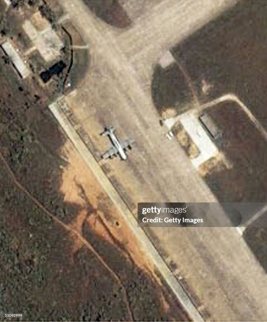
Satellite Image Of The Lingshui Military Airfield On The Southeastern Coast Of Haina
387590 01: This Satellite Image Of The Lingshui Military Airfield On The Southeastern Coast Of Hainan Island In The South China Sea, Was Collected At 10:12 A.M. Local Time April 4, 2001 By Space Imaging's Ikonos Satellite. The United States Navy Ep-3 Aries Aircraft Is Clearly Visible And Parked On The Taxiway Adjacent To The North End Of The Runway (North Is Up). This Is The First High-Resolution Commercial Satellite Image Taken Of The Lingshui Airfield. Ikonos Travels 423 Miles Above The Earth's Surface At A Speed Of 16,000 Miles Per Hour. (Photo By Getty Images)

PURCHASE A LICENCE
How can I use this image?
475.00 €
EUR
Please note: images depicting historical events may contain themes, or have descriptions, that do not reflect current understanding. They are provided in a historical context. Learn more.
DETAILS
Restrictions:
Contact your local office for all commercial or promotional uses.
Credit:
Editorial #:
51092999
Collection:
Hulton Archive
Date created:
04 April, 2001
Upload date:
Licence type:
Release info:
Not released. More information
Source:
Hulton Archive
Object name:
38759001spyp_20010713_00840.jpg
Max file size:
2479 x 2988 px (20.99 x 25.30 cm) - 300 dpi - 1007 KB