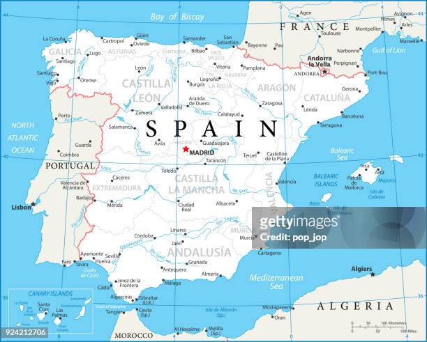
Spain, true colour satellite image with mask and border. Spain takes up the majority of the Iberian peninsula and includes the Balearic Islands . The...
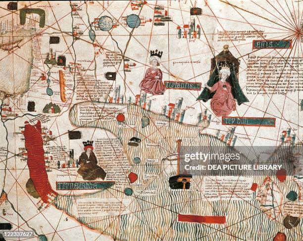
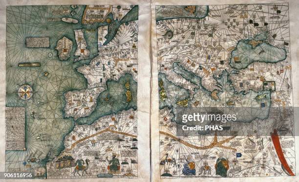
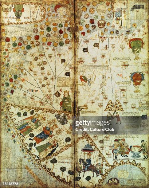
The Catalan Atlas, 1375. Attributed to the Majorcan Jewish cartographers Abraham and Jehuda Cresques, was service of King of Aragon. National Library...
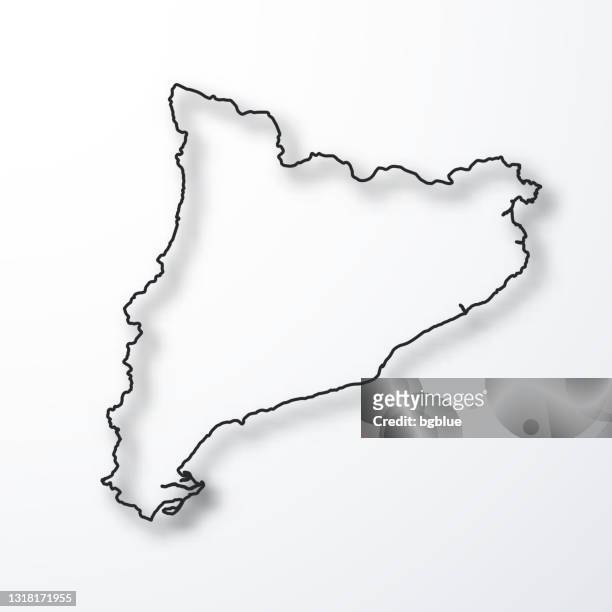
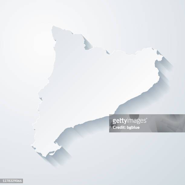
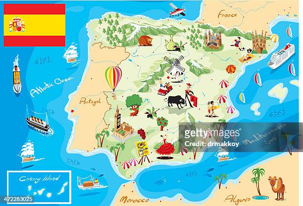
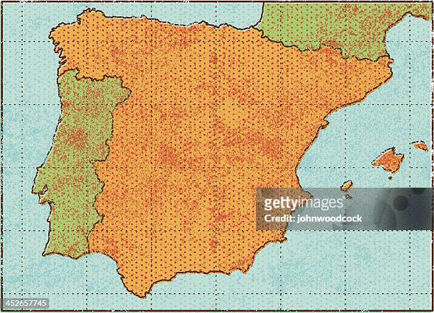
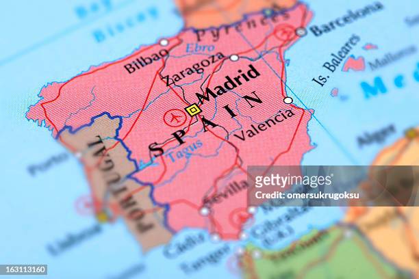
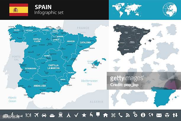
catalonia maps for design. blank, white and black backgrounds - line icon - catalonia map stock illustrations
Detail of a Catalan nautical map representing the Asia of the 13th century with a caravan on the way to Cathay : the silk road crossed by Marco Polo....
The Catalan Atlas, 1375. Attributed to the Majorcan Jewish cartographers Abraham and Jehuda Cresques, was service of King of Aragon. National Library...
Tuaregs and Moorish tents as represented in the Catalan Atlas, by the Jewish illustrator Cresques Abraham, 1375.
Mansa Musa, King of Mali, holding a sceptre and a piece of gold as represented in the Catalan Atlas, by the Jewish illustrator Cresques Abraham, 1375.
Egypt, Turkey, Bulgaria, Ukraine and the Black Sea as represented in the Catalan Atlas, by the Jewish illustrator Cresques Abraham, 1375.
Facsimile of the Catalan Atlas of 1375, preserved in the National Library of Paris. Creator: Cresques, Abraham .
Cathay and the Great Khan as represented in the Catalan Atlas, by the Jewish illustrator Cresques Abraham, 1375.
'The Great Lord Prince of Gog and Magog. He will appear with many people in the times of the Antichrist' as represented in the Catalan Atlas, by the...
location point with photos on mobile phone - catalonia map stock pictures, royalty-free photos & images